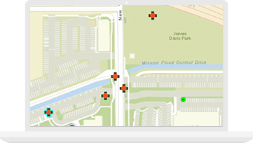
Pre-enumeration planning
Plan your work, update basemaps, optimize enumeration areas (EAs), and increase efficiencies with GIS.
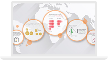
Statistical and civil registration products inform national decision-making. To ensure high-quality data, organizations need a statistical geospatial framework that integrates geospatial and statistical data. GIS platforms facilitate the requisite collection of accurate information as well as its dissemination and analysis.
FEATURED STORY
Governments are addressing the challenges of their upcoming population censuses and are realizing the need for modernization of their processes and methods. With GIS technology, the US Census was able to gain efficiencies, increase accuracy, and improve collaboration—all while reducing costs.
Organize people, data, and tools through information-driven initiatives using easy-to-configure community engagement software.

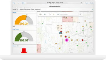

India Urban Observatory
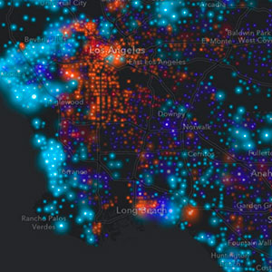
GIS and the 2020 Census
Modernizing Official Statistics
Please fill out your details below for us to contact you for the demo.
Write to us at info@esri.in
Talk to us over the phone