Faculty Training Program

Evolving Geo-Informatics & Applications

A 40-hour Advanced Training Program for Academicians | January 5–9, 2026 | TERI SAS, New Delhi

Register now

Building Future-Ready Geospatial Educators

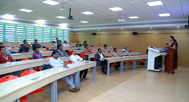
The advancements in GIS technology and its increasing applications across diverse sectors demand that GIS academicians stay current with the latest tools, trends, and methodologies. Recognizing this need, institutions have to train professionals in the latest trends in geospatial technology, fostering a cycle of knowledge transfer that ensures future generations are well-prepared to meet evolving industry demands.

To address this, a 5-day advanced training program has been designed to strengthen and enable educators to bring emerging technologies, modern analytical workflows, and real-world geospatial problem solving into their curriculum and research.

This collaboration between GACI, TERI School of Advanced Studies, and Esri India brings together leading experts, hands-on learning environments, and globally recognized GIS tools — ensuring participants gain not just skill enhancement, but also the confidence to lead the next era of geospatial education.

Program Overview

Over five intensive days, participants will engage in concept-to-application learning across the full geospatial stack — from enterprise GIS architecture and open data utilization to GeoAI, real-time analytics, and 3D digital twins. Through guided hands-on exercises, the program ensures a balance between academic rigor and professional applicability.

The training reflects current and future market needs — empowering faculty to transition students from foundational GIS learning to advanced spatial analytics and industry-aligned competencies.

Detailed Agenda – Coming Soon

Learning Themes & Technical Focus

Each day focuses on a strategic, emerging domain:
 

   ThemeCapability Focus
Enterprise GIS & Data InfrastructureStandards, APIs, Web GIS deployment, security
Spatial Analytics & GeoAIML/DL models, Python predictive analytics, automation
3D & Digital TwinsDrones/UAVs, LiDAR, BIM-GIS integration, immersive visualization
IoT & BlockchainSensor networks, secure data exchange, smart system design
Big Data, Pedagogy & ResearchMulti-source analytics, curriculum enhancement, funding strategies


This structure ensures faculty are equipped not only with tools, but with frameworks to elevate teaching impact and research contribution.

Certification and Professional Recognition

Participants who successfully complete the training will receive:

  • Certificate of Participation — joint recognition by TERI SAS, GACI & Esri India
  • Trainer Certification — awarded upon completion of a post-training evaluation assignment

A multicolored district map

Resources and Support

To ensure uninterrupted learning and professional comfort, the program fee includes:

  • Accommodation
  • Local logistics support between venue & facilities
  • Meals, tea/coffee breaks & a networking dinner on Day 1
  • Curated welcome kit and access to learning resources
  • A complimentary pass to the Esri India User Conference 2026
  • Extended access to global training repositories, MOOCs & tutorials
  • Course handbook and lecture notes with recommended readings

You return not only with new capabilities — but with all the resources required to continue advancing them.

A multicolored district map

Registration & Program Fee

Previous
Next
Register now

Organizing Institutions

This program is a prestigious capacity-building initiative jointly offered by

Previous
Next

Register Now