L&T Trusts Esri India for Robust Irrigation Infra
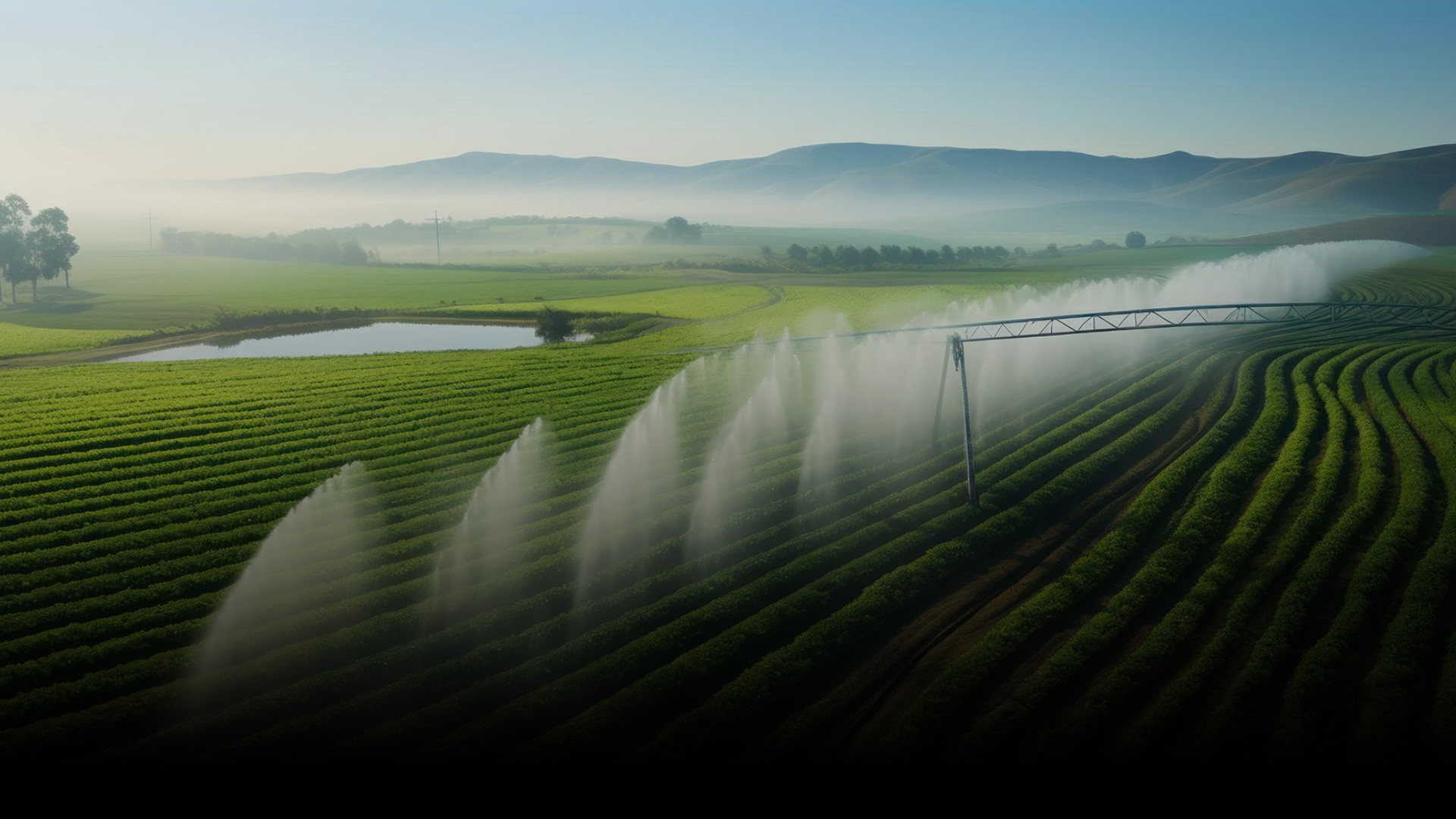
The project by L&T intends to provide water for micro-irrigation to 1 lakh hectares of farmland in the Madhya Pradesh districts by lifting 32.04 cusecs of water from Indira Sagar Project reservoir. For a massive project like this, assessment of construction progress and comparison with the planned progress play a vital role in project management. Effective and timely progress monitoring enables the project team to take effective actions against delays and discrepancies. Esri’s Enterprise GIS system is helping to achieve that. Spatially representing progress information on a map facilitates clear communication and enables efficient decision-making. (L &T)