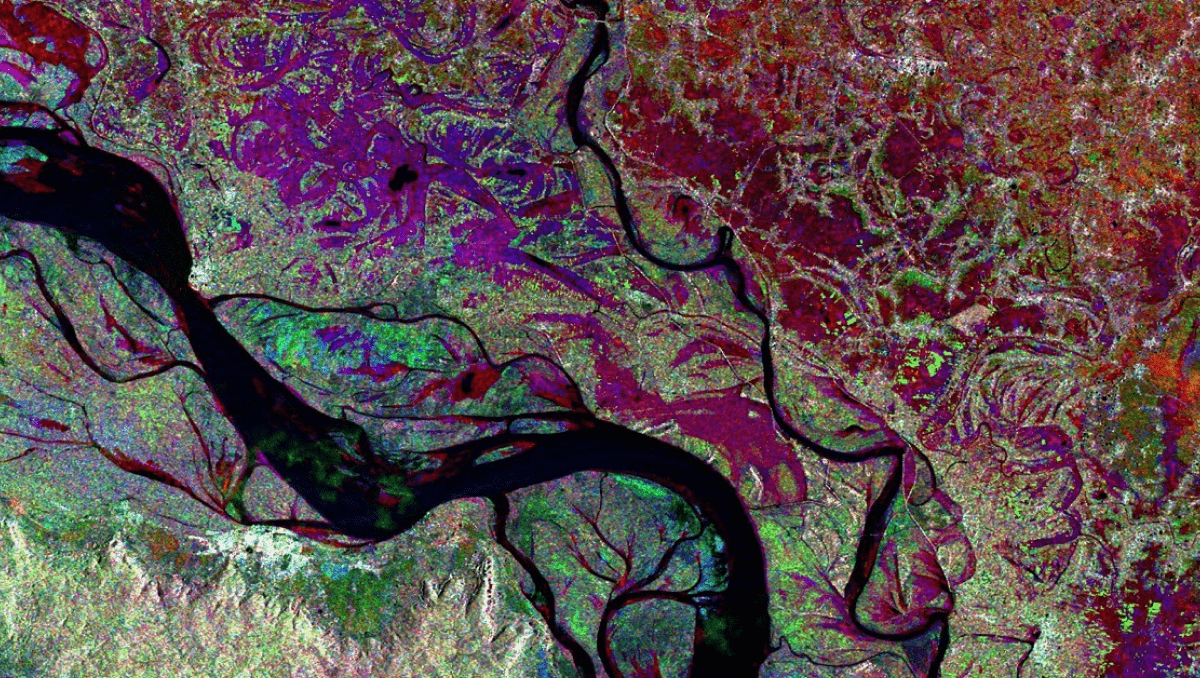
The adoption of Synthetic Aperture Radar (SAR) data has gained traction globally owing to its numerous advantages, including the capability to collect data during nighttime and penetrate through cloud cover. Despite these benefits, SAR data is inherently complex, posing challenges for effective utilization.
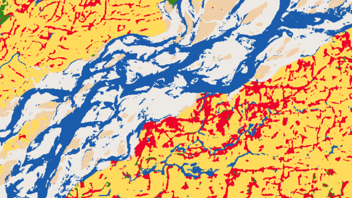
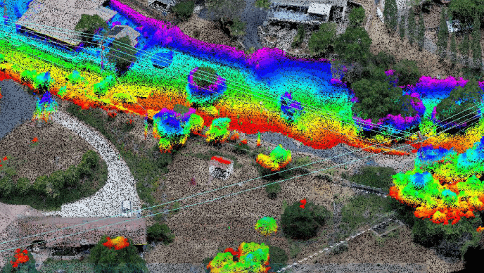
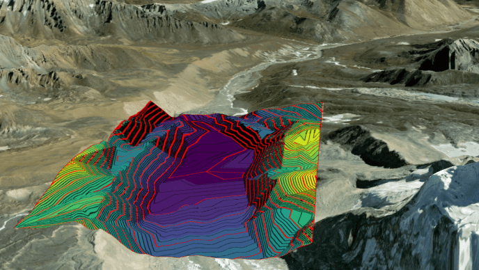
ENVI SARscape offers powerful capabilities to process and analyse Synthetic Aperture Radar (SAR) data, enabling the generation of products such as Digital Elevation Models (DEMs) and surface deformation maps. This software allows users to integrate SAR-derived information with other geospatial data products, enhancing the contextual understanding of the data. By transforming complex SAR data into meaningful and interpretable information, ENVI SARscape facilitates informed decision-making across various applications.
Integrated with ENVI, a leading solution for image processing and analysis, ENVI SARscape provides a seamless package combining advanced image analysis tools with SAR processing functionality, further enhancing its utility and versatility for users.
