Advanced Imagery Solutions with ArcGIS Pro
WEBINAR 1 | July 30, 2024
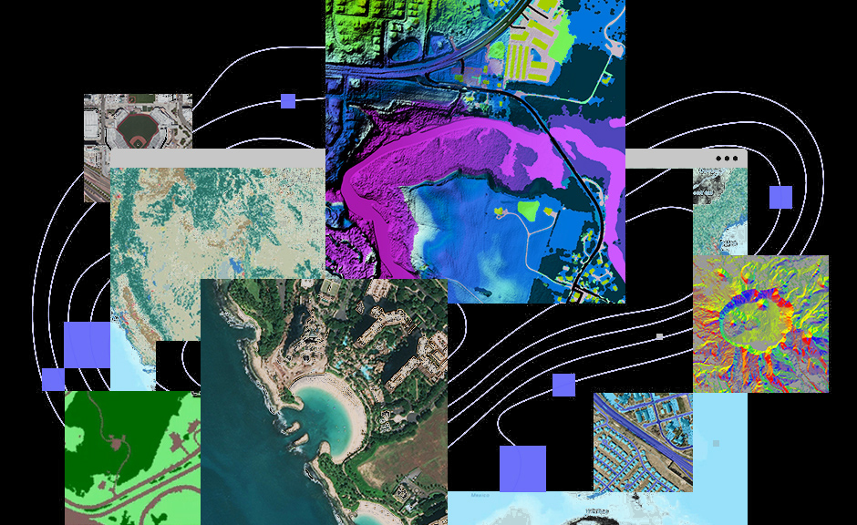
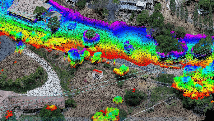
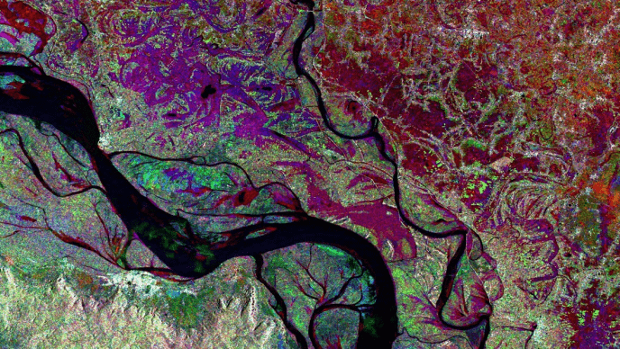
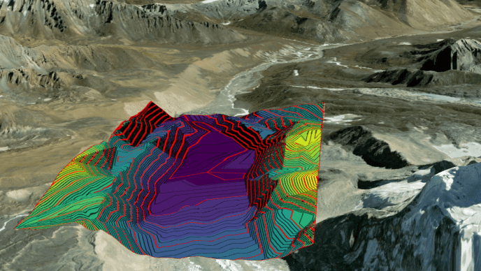
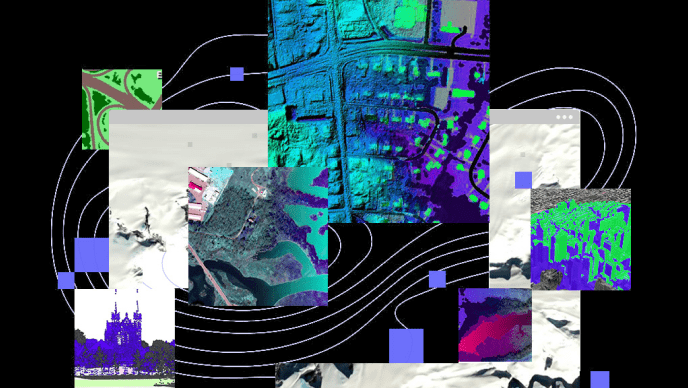
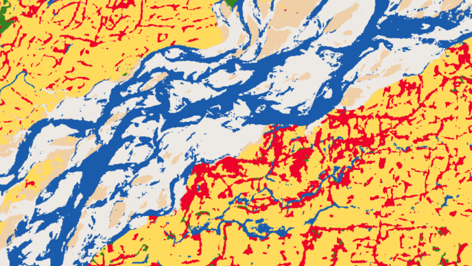
ArcGIS offers comprehensive capabilities for visualizing, managing, processing, and analyzing both imagery and raster data. These functionalities are further extended through the ArcGIS Image Analyst extension, which provides advanced tools tailored for detailed image analysis.
