
Multimodal Network Solutions for Logistics & Infrastructure
From Road to Rail: Enabling Smarter Freight Movement with ArcGIS
December 3, 2026 | 11:30 am - 12:30 pm IST
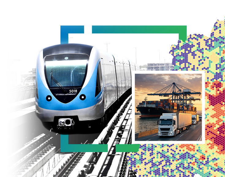
Overview
The growing complexity of logistics and freight transportation calls for integrated network planning that connects multiple modes of transportation. With road, rail, terminals, inland container depots (ICDs) and ports forming critical links in the supply chain, organisations need better visibility into connectivity, transportation costs and operational efficiency.
Join us for a webinar exploring how Esri India’s ArcGIS capabilities enable multimodal network analysis by bringing different transportation networks together into a unified decision-support framework.
Through practical use cases, discover how organisations can compare truck-only and multimodal rail-preferred routes, evaluate transit times and transportation costs, identify suitable terminals and container requirements, and assess port capacity for more informed freight planning.
What We'll Explore
1. Multimodal Network Integration
Understand how road networks, railway lines, terminals, yards, rail sidings, transfer points, and ports can be integrated into a connected network.
2. Route Planning and Optimisation
Explore how truck-only and multimodal rail-preferred routes can be compared to evaluate travel distance, transit time, and transportation costs.
3. Intelligent Shipment Planning
Understand how shipment parameters such as cargo weight, volume, dispatch date and special handling requirements can inform container selection, and shipment planning.
4. Container and Port Capacity Assessment
Discover how the solution recommends container types, calculates container quantities, and TEU requirements, and evaluates port capacity against shipment requirements.
5. Data-Driven Logistics Decisions
Explore how geospatial network intelligence can support modal shift evaluation, corridor utilisation, road decongestion, infrastructure planning, and logistics efficiency.
Explore the Solution in Action
See how a customised multimodal freight planning solution powered by ArcGIS brings together network analysis and shipment intelligence.
Users can provide shipment details, including:
- Origin and destination
- Cargo weight and volume
- Dispatch date
- Hazardous material and reefer requirements
The solution evaluates and presents:
- Truck-only and multimodal route options
- Recommended transportation mode and ICD/terminal
- Suitable container type and number of containers
- Estimated transit time and transportation cost
- Port capacity availability
- Potential time and cost savings
Where port capacity is insufficient, the solution can also recommend shipment volume adjustments or splitting to accommodate available capacity.
Who Should Attend?
This webinar is relevant for professionals from:
- Logistics and Supply Chain Management
- Freight and Transportation Operations
- Ports, Shipping and Terminal Operations
- Railways and Transportation Infrastructure
- Infrastructure Planning and Development
- Government and Transport Authorities
- Digital Transformation and GIS Teams
Speakers

Vibhu Sinha
Divisional Manager - Pre Sales,
Esri India

Tanisha Jaiswal
Assistant Manager - Pre Sales,
Esri India