
Registrations are closed
GeoAI-based Land Asset Monitoring & Encroachment Detection
June 10, 2025 | 11 am IST onwards
Overview
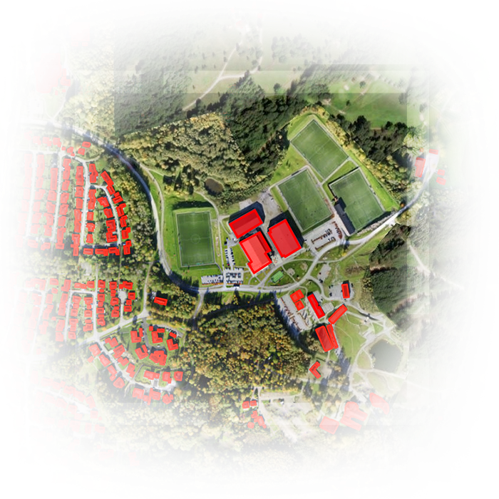
Managing and protecting government land assets at scale is a complex challenge. With unauthorized land-use changes on the rise, departments need a powerful, real-time solution that integrates cutting-edge geospatial technology, artificial intelligence, and cloud infrastructure.
Join us to explore how the ArcGIS powered by GeoAI & Esri India Managed Cloud Solution combines high-resolution satellite imagery, AI/ML-powered change detection, and field validation via integrated Mobile app to establish a fully digitized, state-level asset protection system.
Key Takeaways
- Real-time detection of unauthorized land-use changes and encroachments
- End-to-end digitized workflows to replace manual records
- Scalable, interoperable system integrated with national platforms like PM Gati Shakti
- Unified web-mobile interface for seamless collaboration and reduced manual errors
- AI-driven satellite image analysis to trigger alerts for unauthorized activities
- Mobile-based app for asset mapping and field validation
- Interactive dashboards with a robust decision support system (DSS)
- Creation of a dynamic, real-time digital inventory of government land assets
- Hosted on Esri India Managed Cloud for performance, security, and peace of mind
Who Should Attend
This session is designed for:
- Land Management Authorities
- Urban Development & Municipal Authorities
- GIS and IT Professionals
- Decision Makers in Infrastructure and Planning Departments
- Policy Makers and Regulators
- Geospatial Consultants and System Integrators
Speakers

Dwaipayan Dighal
Vice President - Sales
Esri India

Saranya M
Manager - Presales
Esri India

Ashish Kumar Pal
Project Manager
Esri India

Baidika Biswas
Managed Services
Esri India