
Registrations are closed
Evolving Geospatial Curricula for a Changing World
April 1, 2026 | 4:00 pm - 5:30 pm IST
Overview
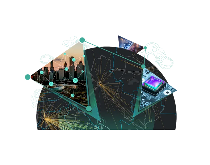
Geospatial technologies are increasingly central to decision-making across governance, infrastructure, climate resilience, business analytics, and societal development. With rapid advancements in cloud computing, GeoAI, digital twins, and real-time data ecosystems, geospatial thinking is expanding far beyond traditional GIS boundaries.
Indian academic institutions have played a vital role in building foundational geospatial capacity. As the ecosystem evolves, there is a natural and timely need to revisit and refine curriculum frameworks to ensure they remain relevant, adaptable, and future-ready.
This webinar will bring together academic leaders and industry practitioners for a meaningful dialogue on how geospatial curricula can evolve in response to technological progress and emerging societal needs—while preserving academic rigour and autonomy.
What We’ll Discuss
- How emerging technologies are reshaping core geospatial competencies and skill expectations.
- The shift from traditional GIS towards integrated, interdisciplinary geospatial applications
- Designing modular, adaptable and future ready curricula for a dynamic ecosystem.
- Balancing theoretical foundations, technical tools, and real-world problem solving.
- Integrating applied learning, case studies and meaningful academia – industry collaboration.
- Addressing faculty capacity, infrastructure and data accessibility to strengthen curriculum delivery.
Who Should Attend?
- Vice-Chancellors, Deans, and Academic Leaders
- Heads of Departments and Faculty in Geospatial & Allied Disciplines
- Industry Practitioners and Geospatial Solution Leaders
- Policymakers and Ecosystem Enablers
Agenda
| TIME | SESSION |
| 4:00 pm | Setting the context |
| 4:05 pm | "Are We Teaching Yesterday’s GIS to Tomorrow’s Professionals?" Dr. Shailesh Nayak in conversation with Mr. Agendra Kumar |
| 4:15 pm | Panel Discussion - New Realities Shaping Geospatial Education Today Chair Mr. Rajesh C Mathur, Senior Director - Strategy, ESRI India and Co-Chair GIS Academia Council of India (GACI) Panelists:
|
| 4:55 pm | Panel Discussion - Curricula to Stay Relevant and Resilient
|
| 5:30 pm | Vote of Thanks |
Speakers

Dr. Shailesh Nayak
Director National Institute of Advanced Studies and Chair, GIS Academia Council of India (GACI)

Mr. Agendra Kumar
Managing Director (MD),
Esri India

Mr. Rajesh C Mathur
Senior Director - Strategy,
Esri India

Prof Prateek Sharma
Vice Chancellor,
Delhi Technical University

Dr. Roshan Srivastav
Associate Professor, IIT – Tirupati

Dr. T. P. Singh
Professor & Director,
Symbiosis Institute of Geoinformatics

Dr. Shamita Kumar
Principal,
BVIEER – Pune

Dr. RAAJ Ramasankaran
Professor, Department of Civil Engineering,
IIT - Bombay

Dr Chander Kumar Singh
Professor and Dean, School of Vocational Studies and Applied Sciences, Registrar, Gautam Buddha University

Dr. Pramod Kumar
Former Scientist G & Dean (Academics),
IIRS

Dr. Vijaya Lakshmi Thatiparthi
Professor of Environmental Science and Technology

Alok Bhardwaj
Assistant Professor,
IIT – Roorkee