
Bridging BIM and GIS
Connect Every Stage of the Infrastructure Lifecycle
October 15, 2026 | 11:30 am - 12:30 pm IST
Overview
Infrastructure projects generate vast amounts of information across BIM models, GIS, engineering systems, project teams, and field operations. When this information remains disconnected, gaining a complete view of the project can be challenging.
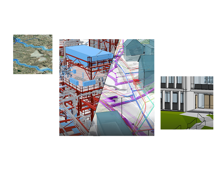
This webinar explores how integrating BIM and GIS with ArcGIS can bring project information together in a common geographic context, help teams improve coordination, gain real-time project visibility, make informed decisions, and manage infrastructure beyond project completion.
See how a connected BIM-GIS environment can help transform the way infrastructure projects are planned, designed, delivered, and managed.
What you will learn
- Connect BIM and GIS to bring project and location information together
- Create a common view of project information across planning, design, engineering, and construction teams
- Visualize infrastructure in its real-world context using 2D and 3D capabilities
- Track project progress using dashboards, field data, and real-time information
- Improve project coordination and decision-making with connected, location-based insights
- Extend project intelligence into operations to support long-term asset and infrastructure management
- Going beyond concepts with demonstrations of how ArcGIS can connect BIM, GIS, and project information across the infrastructure lifecycle.
- How GeoBIM can help create a unified geospatial environment for utilities and enable them for better decision making.
The demonstrations will cover
- Integrating BIM models with ArcGIS
- Visualizing infrastructure projects in 3D and geographic context
- Connecting project and field information
- Monitoring construction progress through dashboards
- Bringing project information together for better collaboration
- Extending digital project information into asset operations
- A 3D GeoBIM-based utility digital twin that links underground/above-ground assets with BIM models, enabling visualization, clash detection, construction monitoring, and lifecycle asset management
Who Should Attend?
This webinar is designed for professionals involved in infrastructure planning, design, delivery, digital transformation, and asset management, including:
- CIOs
- CTOs
- Heads of Digital Transformation
- Engineering Directors
- BIM Managers
- GIS Managers
- Infrastructure Project Managers
- PMO Leaders
- Smart City Leaders
- Construction Technology Teams
Speakers

Daniel Chantlos
Sr. Solution Engineer, AEC – Asia Pacific,
Esri Global, Inc.

Roma Malik
Manager - Presales,
Esri India
Build a Connected View of Your Infrastructure Projects
Discover how connecting BIM, GIS, and project information with ArcGIS can help your teams gain greater visibility, collaborate more effectively, and make better decisions from planning and design through construction and operations.