Registrations are closed
Explore LiDAR Data with ArcGIS Pro
March 12, 2026 | 11 am IST onwards
Overview
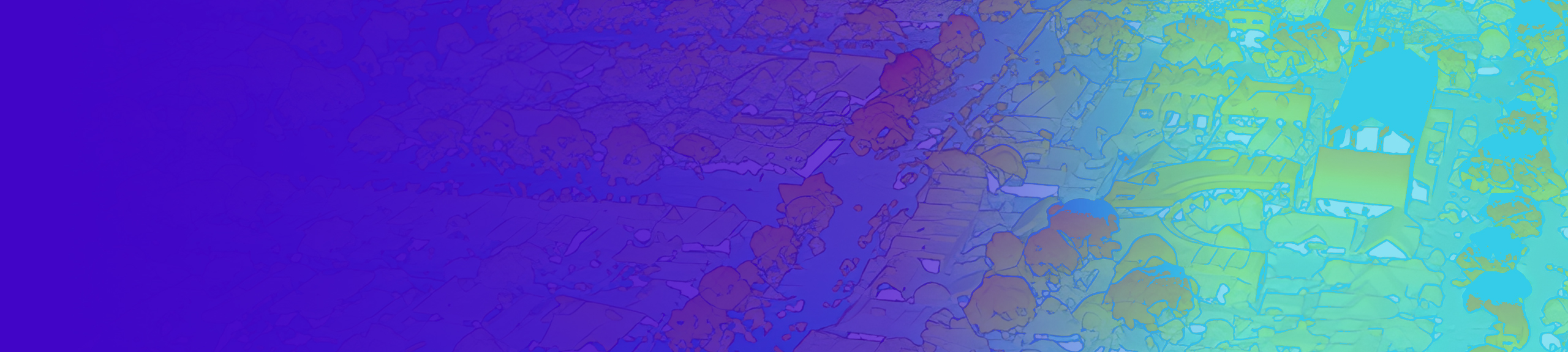
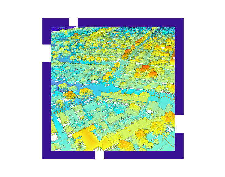
LiDAR (Light Detection and Ranging) data and its derivatives, such as high-resolution elevation and surface models, have become indispensable across industries ranging from urban planning to forestry and disaster management. However, the sheer volume and complexity of point cloud data require specialized workflows to unlock its true potential.
This session introduces core LiDAR concepts, collection methods, and critical quality-control considerations. We will explore modern techniques to manage, edit, and visualize 2D and 3D information products using ArcGIS Pro. Attendees will learn how to move beyond raw data to create actionable intelligence through streamlined workflows and advanced analysis.
This webinar will delve into the end-to-end LiDAR workflow within the ArcGIS ecosystem, demonstrating how to move from data ingestion to advanced 3D analysis and sharing.
Key Takeaways
Participants will gain practical insights into the following areas:
- Core Concepts: Understanding LiDAR data structures and their integration within ArcGIS Pro.
- Data Management: Organizing and processing large-scale data using LAS datasets, mosaic datasets, and point cloud scene layers.
- Quality & Accuracy: Validating LiDAR data and performing precise edits to correct common errors.
- Advanced Visualization: Techniques for rendering and exploring point clouds in both 2D and 3D environments.
- Derivative Products: Generating high-value outputs, including:
- Digital Elevation Models (DEM) and Digital Surface Models (DSM).
- Automated building footprint extraction.
- Raster-based terrain products.
- Sharing & Collaboration: Publishing LiDAR-derived information to the web for stakeholder engagement.
Who Should Attend?
- GIS Professionals looking to expand their 3D analysis capabilities.
- Surveyors and Engineers involved in high-precision terrain mapping.
- Remote Sensing Specialists and researchers.
- Industry Professionals in urban planning, environmental management, and infrastructure.
Speaker

Dr. Vanama Venkata Sai Krishna,
Esri India