ArcGIS: Transforming Urban Planning and Governance
November 28, 2025 | 11 am IST onwards
Overview
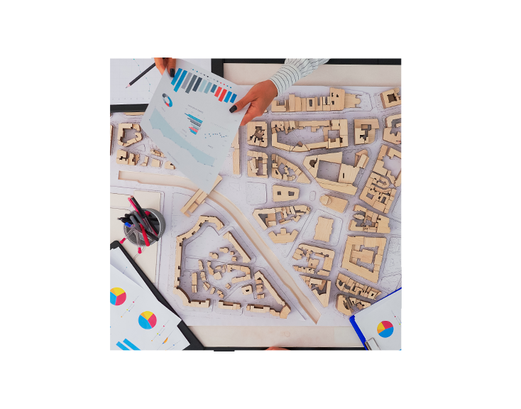
ArcGIS provides a comprehensive geospatial platform that empowers urban planners, administrators, and decision-makers to design, manage, and sustain smarter cities. By integrating spatial data from multiple sources—such as land use, infrastructure, environment, and demographics—ArcGIS enables a unified, data-driven view of urban systems.
From master planning to daily operations, ArcGIS supports every stage of urban development. Tools like ArcGIS Urban facilitate 3D scenario modelling, zoning visualization, and impact assessment, helping planners evaluate density, building heights, and land-use efficiency. ArcGIS City Engine enhances visualization with procedural 3D modelling for urban design and simulation. Additionally, ArcGIS Hub and Dashboards promote transparency by engaging citizens and stakeholders through accessible data and performance indicators.
With capabilities in real-time data analysis, mobile data collection, and integration with BIM and IoT systems, ArcGIS strengthens urban governance and sustainability. Whether it’s managing utilities, planning new developments, or monitoring environmental health, ArcGIS serves as the digital foundation for smarter, more resilient cities.
Key Takeaways
- Unified Urban Platform
- 3D Urban Modelling
- Data Driven Decisions
- Stakeholder Collaboration
- Seamless Integration
- Sustainability and Resilience
Who should attend?
Development Authority officials, Metropolitan Development Authority Officials, Smart City Officials, Town Planning Officials, Municipal Corporation Officials and Urban Planners.
Speaker

Priyanka Tinekar,
Esri India