Skip to Content

ArcIndia News

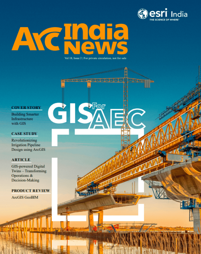
Architecture, Engineering, and Construction

Download this issue

Cover Story


As the world’s second most populous country, India houses more than 1.4 billion people currently, and the numbers are continually growing. It is also one of the fastest-growing economies in the world, with an annual growth rate of 7.2%. Improved infrastructure is required not only to accommodate the rising population but also to keep pace with the rapid economic growth.
Read this article

  • Revolutionizing Irrigation Pipeline Design using ArcGIS

    Revolutionizing Irrigation Pipeline Design using ArcGIS

    In recent times, lift irrigation projects have emerged as a popular solution for supplying water to agricultural lands at elevations higher than the source of water.

  • Nurturing the Next Generation of Geospatial Leaders

    Nurturing the Next Generation of Geospatial Leaders

    The geospatial revolution is underway, and its impact is reverberating across industries, shaping the future of decision-making and resource management.

  • Collaboratively Transforming AEC Projects

    Collaboratively Transforming AEC Projects

    The AEC industry in India has experienced significant evolution over the years due to several factors contributing to steady growth, including economic growth, the latest technological advancements, urbanization, and evolving contractual and regulatory landscapes.

  • Optimal Siting of Charging Infrastructure for  EV Ecosystem Partners

    Optimal Siting of Charging Infrastructure for EV Ecosystem Partners

    Electric mobility is one of the key drivers of the undergoing clean energy transition. As the primary enabler of sustainable transportation, electric mobility plays a critical role in achieving net-zero carbon emissions.

  • Customer Speak

    GIS Fostering Urban Development

    The primary responsibility of MCD is to provide basic amenities (mainly sanitation & hygiene) to the citizens and also enhance infrastructure facilities as per the requirement of an area.

  • Article

    GIS-powered Digital Twins

    GIS creates the data mesh for digital twins, by uniquely integrating multiple types of digital models – it interconnects information, systems, models, and behaviors with spatial context, thereby creating holistic digital representations of environments, assets, networks, and cities.

Previous
Next

Want to know more?

Contact

Find your local Esri India office and get answers for your questions.

Contact Esri India

Careers

Search available positions, or contact our human resources team.

Find job opportunities

Give us a call

Talk over the phone

1800-102-1918