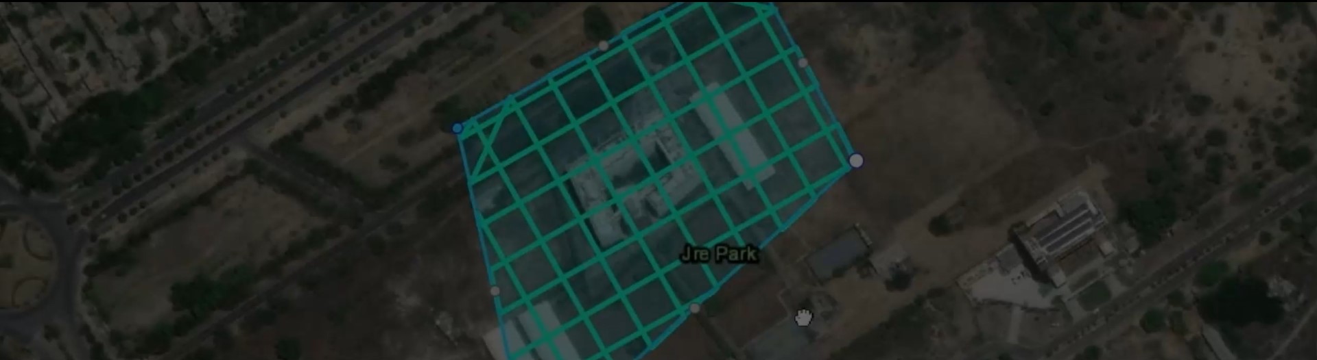
Drones put the power of data collection in your hands
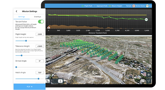
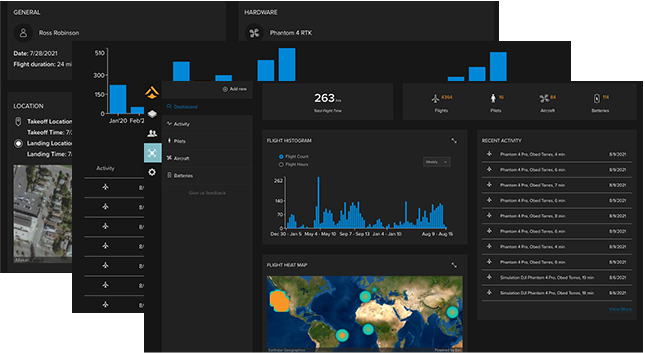
End-to-end drone solutions
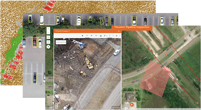
Esri software covers every workflow: fleet management, flight planning, 2D and 3D mapping, analysis, and scalable content management and sharing.
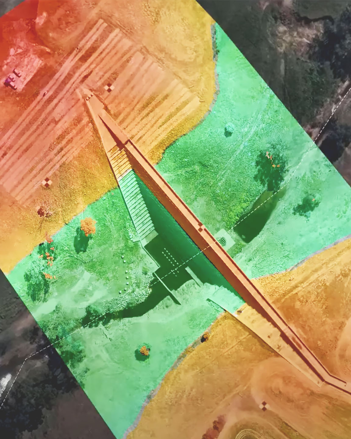
Use location to tie all your data together
Bring data together to create a digital twin. Integrate your drone content with BIM as well as data layers and real-time feeds in ArcGIS.
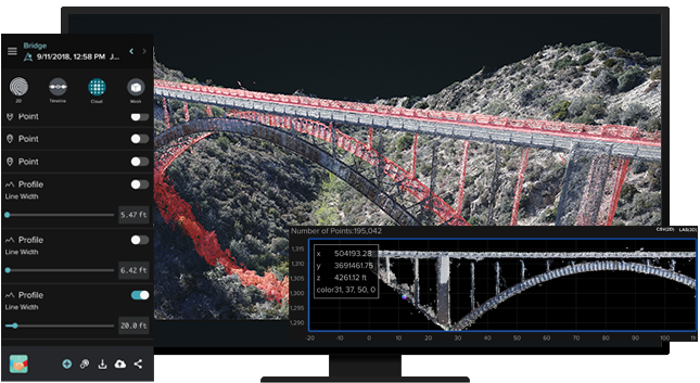
Part of a comprehensive imagery system
Esri drone solutions are integrated with ArcGIS. Easily extend your work with more imagery types, collaboration options, and advanced analytics.